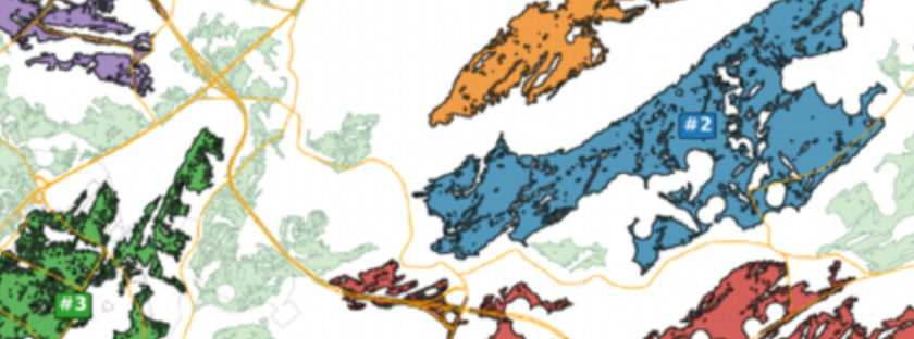
Solution example
Site Screening & Constraint Analysis
What Geo-bAI does
Identifies suitable infrastructure locations by mapping environmental constraints and limitations.
Why it matters
Helps municipalities, developers, and engineering teams evaluate opportunities and constraints early to focus time and resources on the most promising locations.
Example question
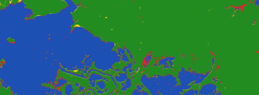
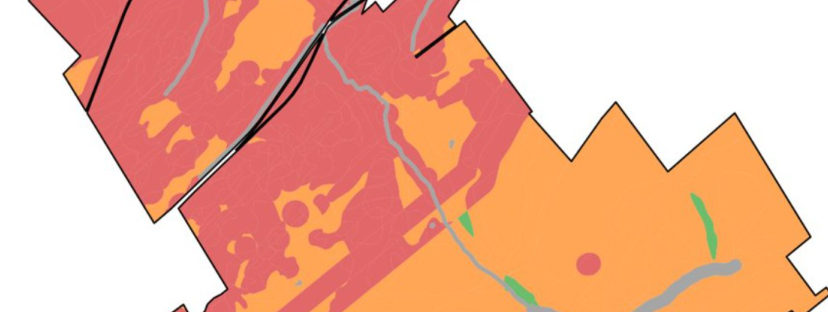
“Screen this region/township for utility-scale solar site suitability. Check for at least 10ha size patches with steep slopes, wetlands, flood zones, setbacks, protected habitat, and access to the electrical grid. Show areas with the fewest constraints.”